🚀 Google Play Internal Testing Live
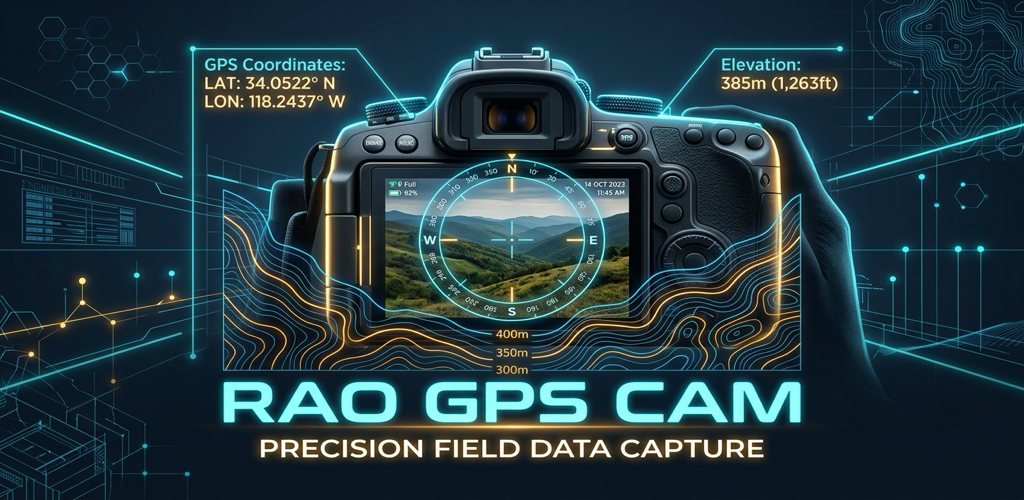
Professional GPS Camera for Precision Field Documentation
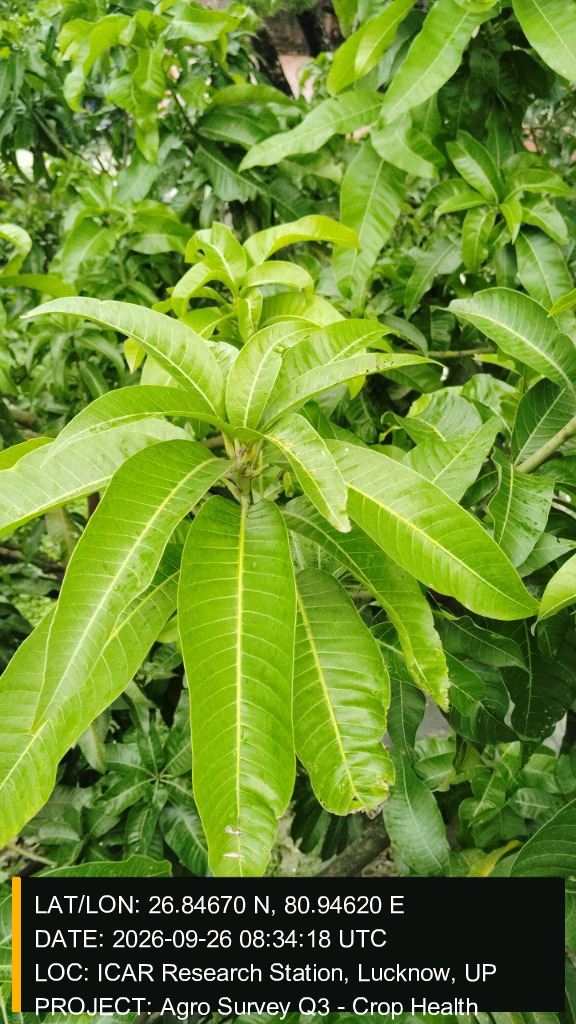
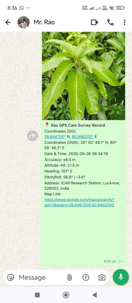
Engineered for site surveyors, civil engineers, building auditors, and inspectors. Geotagged field photos with sub-meter coordinates, MSL altitude, compass heading, and certified timestamps.
🛰️
High-Precision Coordinates
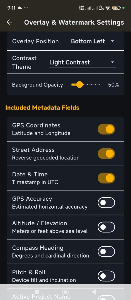
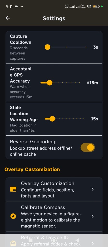
Stamp verified Decimal Degrees (DD) and Degrees Minutes Seconds (DMS) coordinates with active mock-location detection and stale-signal filtering.
⏱️
Certified Timestamps & Altitude
UTC and local timestamps embedded at second precision. True Mean Sea Level (MSL) elevation calculated from device GPS and barometric sensors.
🧭
Compass Heading & Tilt Angles
Integrated 360° cardinal compass direction with accelerometer pitch and roll angle readings to verify camera level alignment.
🛡️
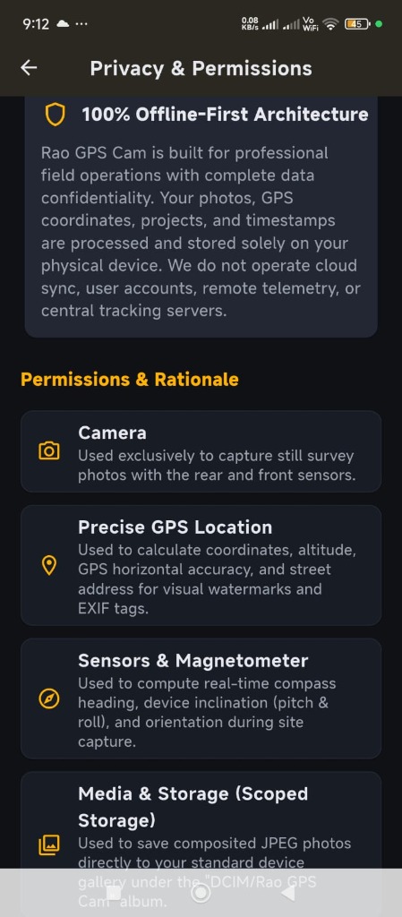
100% Offline-First Privacy
Zero cloud uploads, zero account requirements. Works completely offline in remote wilderness, mines, tunnels, and disaster zones.
📁
Project & Job Site Categorization
Organize inspection photos by client, job site, and contract route. Direct Scoped Storage saving to DCIM/RaoGPS Cam.
🌐
Multi-Language Ready
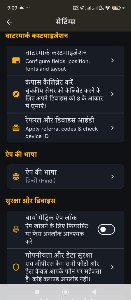
Localized for international field teams in English, Hindi, Spanish, French, German, Portuguese, and Arabic.